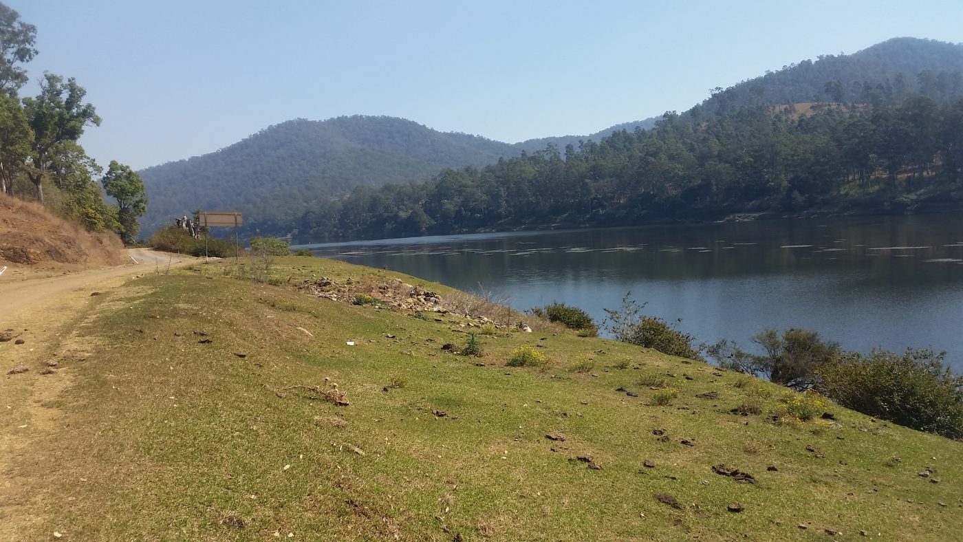
I’ve come to love the upper Clarence where it snakes its way through rugged mountains and pristine valleys.
The area in question is west of Copmanhurst where the saltwater is separated from the freshwater by a weir. It is here in the fresh west of Copmanhurst, that you will find great camping spots and good bass fishing.
I hadn’t done any traveling during the winter and was getting itchy feet to hit the road again albeit for only a one day trip. I was eager to explore an area I had not seen before after returning from a trip to Clarence Gorge in late 2015. So one Saturday in September 2017 I packed up my Landcruiser with some essentials and hit the road at 6.00 am.
It was a beautiful spring morning with not a cloud in the sky when I headed down the Pacific Highway towards Maclean. At Maclean, I then traveled down the Lawrence Road where I caught the Bluff Point Ferry across to the western side of the Clarence River. The river was covered in patches of fog, which gave it a mysterious ambiance and which only added to the beautiful surroundings.

As I drove along I spotted a number of boats on the river where the occupants were dangling a fishing line. This mixed in with a number of moored yachts and prawn trawlers only added to the picture-perfect scene.

After taking in the sights of the Clarence River I came out onto the Summerland Way which took me to the township of Copmanhurst.
I took in the rolling countryside and eventually turned into a gravel road which took me down to the Upper Clarence River.

A little bit further on you come across the locality of Coombadjha where the Mann River meets the Clarence River. This area through to Jackadgery has some beautiful camping spots nestled alongside the Mann River. It was at one of these spots that I stopped and pulled out the hot plate and had a BBQ lunch.


On reaching Jackadgery I traveled through to the causeway where I had a quick flick for a bass but without any luck.

From here I travelled on to where I completed the loop and met the Clarence Way once again.
Heading towards the Bruxner Highway I passed the historical Yulgilbar Station situated on the Clarence River and famous for its beef cattle and cropping. Yulgilbar Station was originally settled by pastoralist Edward Ogilive in 1840 as a 200,000-acre sheep station. Edward built a large house for his wife Theodosia which he named Yulgilbar Castle.

The Clarence Way was gravel for the next 100 kilometres and heavily corrugated where it eventually meets up with Bruxner Highway not far from the township of Tabulam.
I arrived home on dark satisfied after seeing some of the most beautiful country the Northern Rivers has to offer.

